-
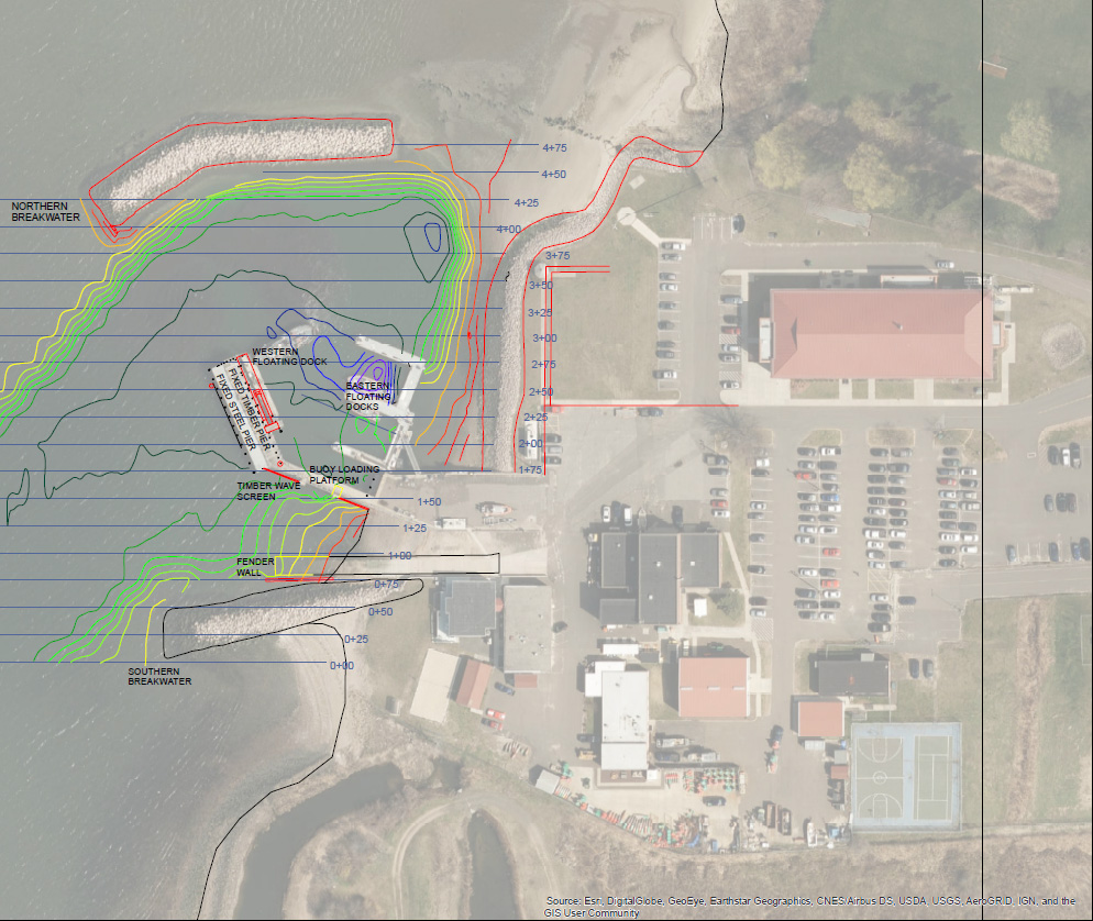
Permitting, USCG Sector Long Island Sound Dock Repairs
 New Haven, CT
 -
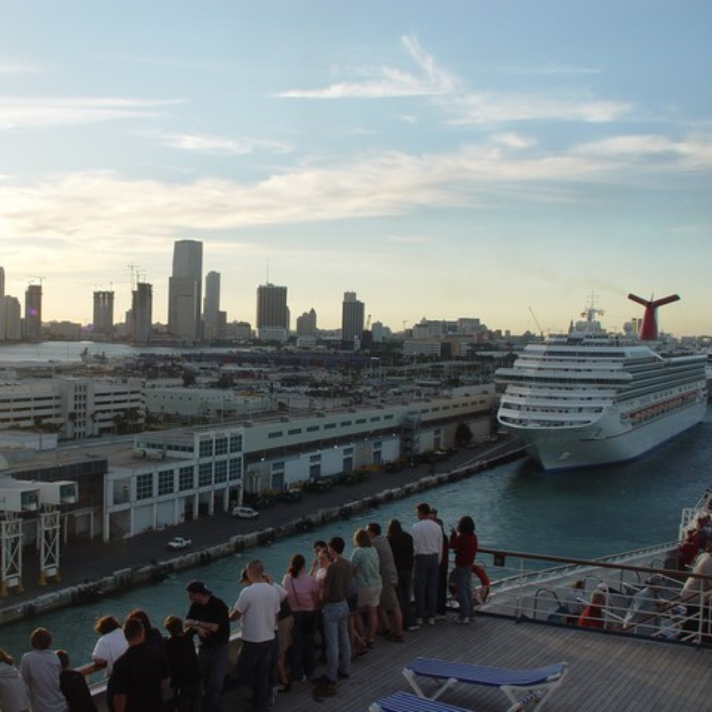
Biological Assessment for Port Canaveral, Port Everglades, Port of Miami, and Port of Palm Beach
Port Canaveral, Port of Miami, Port Everglades and Port of Palm Beach, Florida
Channeling
potential into
progress

Active Filters:
9 projects found

The right partner for your project
Learn about our full range of service offerings, and our wealth of experience in each.